
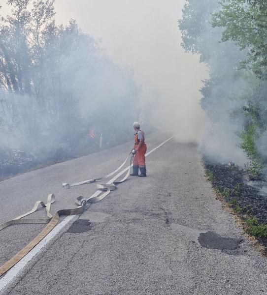
Slovenian-language daily Primorski dnevnik devotes a long feature to the findings of the research carried out within the cross-border Karst Firewall 5.0 project (Interreg Italy-Slovenia), where Infordata Sistemi is the technology partner: by 2040 the Karst will be even more vulnerable to wildfires. But the data also shows where to act, because more than two thirds of fires start within 50 metres of a road or a path.
«The catastrophic fires of 2022 were not a random event, but a warning sign»
That sentence is how the Italian and Slovenian researchers sum up the starting point of the study. Unlike other areas hit by fire in recent years, the Karst has always been marked by hot, dry summers: what is new is the speed of the change. Over recent decades the average annual temperature in the area has risen by more than one degree Celsius, and the trend keeps accelerating. There are now more than 50 days a year with temperatures above 30 °C, while the number of tropical nights — those in which the temperature never drops below 20 °C — has tripled.
What is changing is not so much the total amount of rainfall, which remains broadly stable on an annual basis, as its distribution: summers are becoming drier while precipitation concentrates in the winter months. The result is longer dry spells, desiccating vegetation and accumulating dry biomass — the ideal conditions for fire to spread.
Climate projections: up to +6 °C by the end of the century
The projections produced for both sides of the border point in the same direction. Should current emission trends continue, summer temperatures on the Karst could rise by up to 6 °C by the end of the century. Even under the more optimistic scenarios, the Karst will be noticeably hotter and drier during the fire season.
Hazard and vulnerability: two concepts not to be confused
The research draws a clear line between two dimensions of risk. Hazard expresses the probability that a fire will start in a given area; vulnerability describes how sensitive that area is once the fire occurs, taking into account vegetation type, terrain, proximity to infrastructure and climate conditions. Both aspects were analysed across the entire cross-border area between Italy and Slovenia, roughly 1,000 square kilometres.
On the hazard side, the single most relevant factor turned out to be proximity to roads, railways and settlements: more than two thirds of the recorded fires started less than 50 metres from a road or a path. This is no coincidence, the researchers explain: roads bring people, and people — through carelessness, discarded cigarette butts or sparks from trains — are the main cause of ignition. Conifer forests and shrub-encroached surfaces are particularly exposed.
The vulnerability picture is starker still: more than 90% of the Karst falls into the high or very high vulnerability classes. In other words, the conditions that let fire spread quickly and cause major damage are present almost everywhere.
From the coast inland: what changes by 2040
The two forecasting approaches used return a nuanced picture. The hazard models suggest that in the coastal areas — today the most exposed — the probability of ignition could decrease slightly, because climate projections to 2040 point to a modest increase in total annual rainfall. Inland, by contrast, hazard is set to rise.
The vulnerability analysis, on the other hand, shows an unambiguously negative trend: by 2040 the area classified as very highly vulnerable is expected to grow by around 5% of the whole territory, mainly because of rising temperatures. Higher temperatures dry out vegetation faster, soils lose moisture sooner, and the window in which a fire can spread rapidly keeps getting longer.
«Even if better prevention measures reduce the number of fires, the conditions for their spread and for destructive consequences keep intensifying»
The role of the landscape: abandoned traditional farming
The Karst landscape was shaped over centuries by traditional agricultural practices. As farming is abandoned, many areas are closing up with shrubs and young woodland, which are considerably more flammable than traditional heath and pasture and give fire additional fuel.
Where to act: targeted measures and the return of grazing
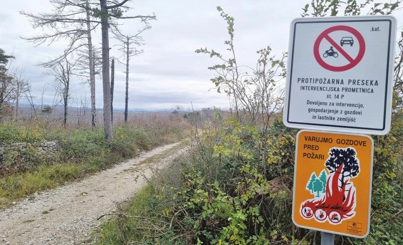
Precisely because so many fires start along roads and infrastructure, the research points to targeted, low-cost prevention measures: clearing dry vegetation along the road network, strengthening early-warning systems and raising public awareness. To these it adds bringing traditional grazing back to encroached areas, which benefits both biodiversity and the fire resilience of the landscape.
The researchers close by stressing the value of cooperation between Italy and Slovenia on a problem that knows no administrative borders: «Climate change does not wait, but neither do the people and institutions working to reduce its consequences».
From research to operational tools: the Karst Firewall 5.0 portal
The hazard and vulnerability maps described in the article are not a scientific result locked away in a report: they feed the cross-border digital platform developed by Infordata Sistemi within the project. The public Karst Firewall 5.0 portal gives institutions, first responders and citizens a real-time risk map based on the Karst Fire Weather Index (K-FWI), data from more than 40 weather stations, air quality monitoring, the e-nose early-warning system, the fire history archive and a 3D digital twin of the area — in four languages.
Karst Firewall 5.0 is co-funded by the European Union under the Interreg VI-A Italy-Slovenia 2021-2027 Programme and brings together six partners: Università IUAV di Venezia (lead partner), Infordata Sistemi, the Municipality of Duino Aurisina – Občina Devin Nabrežina, the Municipality of Miren-Kostanjevica, ZRC SAZU and the cultural and educational association PiNA. Full details on the project page.
Source: Primorski dnevnik, article by Albert Voncina — «Požarna ogroženost na Krasu bo še večja». Online version available on primorski.eu. Photos: Primorski dnevnik / primorski.eu.